ຮູບ:Thailand Chanthaburi location map.svg

Size of this PNG preview of this SVG file: 530 × 599 ພິກເຊວ. ຄວາມລະອຽດອື່ນ ໆ: 212 × 240 ພິກເຊວ | 424 × 480 ພິກເຊວ | 679 × 768 ພິກເຊວ | 905 × 1,024 ພິກເຊວ | 1,811 × 2,048 ພິກເຊວ | 565 × 639 ພິກເຊວ
ໄຟລ໌ຕົ້ນສະບັບ (SVG file, nominally 565 × 639 pixels, file size: 515 KB)
ສະຫຼຸບ
| ລາຍລະອຽດ |
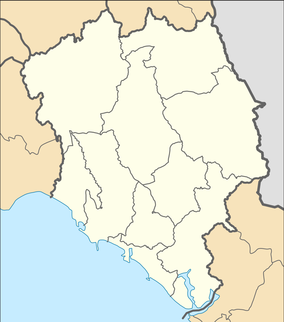
English: Location Map of Chanthaburi Province
N: 13.380° N S: 12.265° N W: 101.564° E E: 102.607° Eไทย: แผนที่สำหรับระบุตำแหน่งในจังหวัดจันทบุรี |
| ວັນທີ | |
| Source |
This W3C-unspecified vector image was created with Inkscape . This vector image includes elements that have been taken or adapted from this file: |
| ຜູ້ຂຽນ |
Hdamm for the original map ZeroSixTwo for recolouring |
Licensing
This file is licensed under the Creative Commons Attribution-Share Alike 3.0 Unported license.
- You are free:
- to share – to copy, distribute and transmit the work
- to remix – to adapt the work
- Under the following conditions:
- ສະແດງທີ່ມາ – You must give appropriate credit, provide a link to the license, and indicate if changes were made. You may do so in any reasonable manner, but not in any way that suggests the licensor endorses you or your use.
- ແບ່ງປັນຄືກັນ – If you remix, transform, or build upon the material, you must distribute your contributions under the same or compatible license as the original.
ປະຫວັດໄຟລ໌
ຄລິກທີ່ ວັນທີ/ເວລາ ເພື່ອເບິ່ງໄຟລ໌ດັ່ງທີ່ມັນປາກົດໃນເວລານັ້ນ
| ວັນເວລາ | ຮູບຍໍ່ | ມິຕິ | ຜູ້ໃຊ້ | ຄວາມເຫັນ | |
|---|---|---|---|---|---|
| ປະຈຸບັນ | 19:04, 25 ເມສາ 2020 | | 565 × 639(515 KB) | ZeroSixTwo | Uploaded a work by Hdamm for the original map<br>ZeroSixTwo for recolouring from {{Created with Inkscape}} {{AttribSVG|Amphoe Chanthaburi.svg|Hdamm}} with UploadWizard |
ການໃຊ້ໄຟລ໌
ບໍ່ມີໜ້າໃດ ລິ້ງຄ໌ ຫາ ໄຟລ໌ນີ້.
ການໃຊ້ໄຟລ໌ທົ່ວໂລກ
ວິກິອື່ນ ໆ ຕໍ່ໄປນີ້ໃຊ້ໄຟລ໌ນີ້:
- ການໃຊ້ງານເທິງ fr.wikipedia.org
- ການໃຊ້ງານເທິງ id.wikipedia.org
- ການໃຊ້ງານເທິງ th.wikipedia.org
- รายชื่อโรงเรียนในจังหวัดจันทบุรี
- เทศบาลเมืองจันทบุรี
- สนามบินจันทบุรี
- เทศบาลเมืองท่าช้าง
- มอดูล:Location map/data/Thailand Chanthaburi
- เทศบาลเมืองท่าใหม่
- เทศบาลเมืองขลุง
- เทศบาลเมืองจันทนิมิต
- มอดูล:Location map/data/Thailand Chanthaburi/doc
- เขื่อนบ้านพลวง
- เขื่อนทุ่งเพล
- เขื่อนคิรีธาร
- เทศบาลตำบลสอยดาว
- เทศบาลตำบลหนองบัว (จังหวัดจันทบุรี)
- พิพิธภัณฑสถานแห่งชาติ พาณิชย์นาวี
- สถานแสดงพันธุ์สัตว์น้ำเฉลิมพระเกียรติ 6 รอบ พระชนมพรรษา