ຮູບ:Papua New Guinea location map.svg

Size of this PNG preview of this SVG file: 800 × 481 ພິກເຊວ. ຄວາມລະອຽດອື່ນ ໆ: 320 × 192 ພິກເຊວ | 640 × 385 ພິກເຊວ | 1,024 × 615 ພິກເຊວ | 1,280 × 769 ພິກເຊວ | 2,560 × 1,538 ພິກເຊວ | 2,280 × 1,370 ພິກເຊວ
ໄຟລ໌ຕົ້ນສະບັບ (SVG file, nominally 2,280 × 1,370 pixels, file size: 501 KB)
ສະຫຼຸບ
| ລາຍລະອຽດ |
Deutsch: Positionskarte von Papua-Neuguinea
Quadratische Plattkarte. Geographische Begrenzung der Karte:
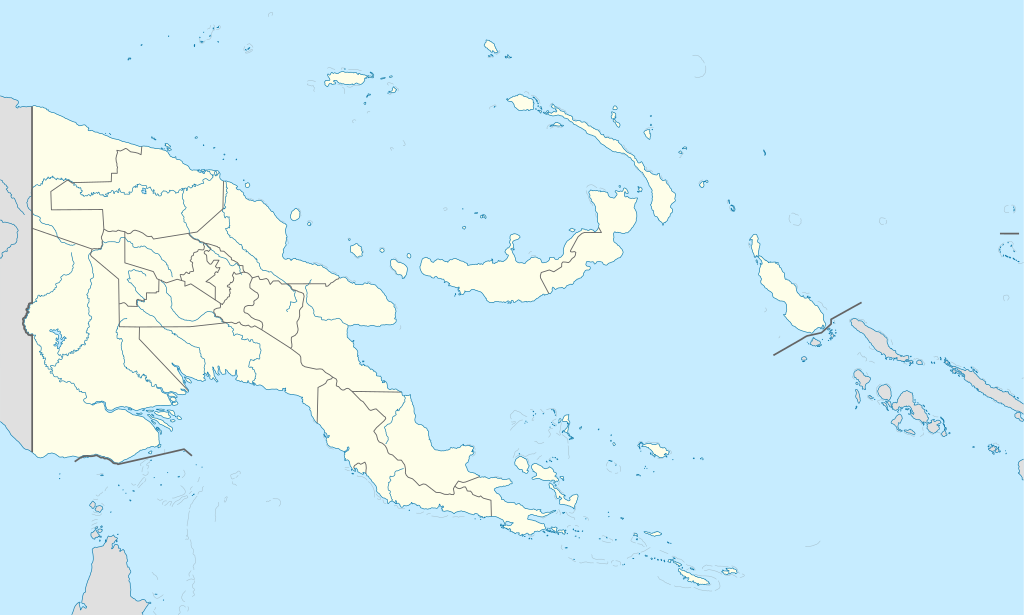
English: Location map of Papua New Guinea
Equirectangular projection. Geographic limits of the map:
|
| ວັນທີ | 05-09-2008 |
| Source |
own work, using
|
| ຜູ້ຂຽນ | NordNordWest |
| Other versions |
|


|
This map has been made or improved in the German Kartenwerkstatt (Map Lab). You can propose maps to improve as well.
|
Licensing
I, the copyright holder of this work, hereby publish it under the following licenses:

|
Permission is granted to copy, distribute and/or modify this document under the terms of the GNU Free Documentation License, Version 1.2 or any later version published by the Free Software Foundation; with no Invariant Sections, no Front-Cover Texts, and no Back-Cover Texts. A copy of the license is included in the section entitled GNU Free Documentation License. |
This file is licensed under the Creative Commons Attribution-Share Alike 3.0 Unported license.
- You are free:
- to share – to copy, distribute and transmit the work
- to remix – to adapt the work
- Under the following conditions:
- ສະແດງທີ່ມາ – You must give appropriate credit, provide a link to the license, and indicate if changes were made. You may do so in any reasonable manner, but not in any way that suggests the licensor endorses you or your use.
- ແບ່ງປັນຄືກັນ – If you remix, transform, or build upon the material, you must distribute your contributions under the same or compatible license as the original.
You may select the license of your choice.
ປະຫວັດໄຟລ໌
ຄລິກທີ່ ວັນທີ/ເວລາ ເພື່ອເບິ່ງໄຟລ໌ດັ່ງທີ່ມັນປາກົດໃນເວລານັ້ນ
| ວັນເວລາ | ຮູບຍໍ່ | ມິຕິ | ຜູ້ໃຊ້ | ຄວາມເຫັນ | |
|---|---|---|---|---|---|
| ປະຈຸບັນ | 15:48, 5 ມິຖຸນາ 2012 | | 2,280 × 1,370(501 KB) | NordNordWest | upd |
| 07:49, 26 ພຶດສະພາ 2011 |  | 2,280 × 1,370(767 KB) | NordNordWest | Reverted to version as of 19:42, 8 December 2009 no need to revert | |
| 23:00, 25 ພຶດສະພາ 2011 |  | 2,280 × 1,370(674 KB) | AlexR.L. | Reverted to version as of 19:51, 5 September 2008 | |
| 19:42, 8 ທັນວາ 2009 |  | 2,280 × 1,370(767 KB) | NordNordWest | + rivers | |
| 19:51, 5 ກັນຍາ 2008 |  | 2,280 × 1,370(674 KB) | NordNordWest | {{Information |Description= {{de|Positionskarte von Papua-Neuguinea}} Quadratische Plattkarte. Geographische Begrenzung der Karte: * N: 0.6° S * S: 12.2° S * W: 140.4° O * O: 159.7° O {{en|Location map of [[:en:Papua New Guinea |
ການໃຊ້ໄຟລ໌
ບໍ່ມີໜ້າໃດ ລິ້ງຄ໌ ຫາ ໄຟລ໌ນີ້.
ການໃຊ້ໄຟລ໌ທົ່ວໂລກ
ວິກິອື່ນ ໆ ຕໍ່ໄປນີ້ໃຊ້ໄຟລ໌ນີ້:
- ການໃຊ້ງານເທິງ af.wikipedia.org
- ການໃຊ້ງານເທິງ als.wikipedia.org
- Vorlage:Positionskarte Papua-Neuguinea
- Port Moresby
- Bismarck-Archipel
- Neubritannien
- Duke-of-York-Inseln
- Admiralitäts-Inseln
- D’Entrecasteaux-Inseln
- Lavongai
- Westliche Inseln
- Feni-Inseln
- Lihir-Inseln
- Tabar-Inseln
- Tanga-Inseln
- St.-Matthias-Inseln
- Vitu-Inseln
- Neuirland
- Louisiade-Archipel
- Marshall-Bennett-Inseln
- Woodlark-Insel
- Trobriand-Inseln
- Mount Wilhelm
- ການໃຊ້ງານເທິງ an.wikipedia.org
- ການໃຊ້ງານເທິງ ar.wikipedia.org
- ການໃຊ້ງານເທິງ ast.wikipedia.org
- Puertu Moresbi
- Nueva Bretaña
- Montes Herzog
- Archipiélagu Bismarck
- Islles del Duque de York
- Tabubil
- Islla Daru
- Estrechu de Dampier
- Islles del Almirantalgu
- Monte Lamington
- Archipiélagu de les Lluisiaes
- Aeropuertu Internacional de Jacksons
- Aeropuertu de Guasopa
- Puertu de Dreger
- Módulu:Mapa de llocalización/datos/Papúa Nueva Guinea
- Módulu:Mapa de llocalización/datos/Papúa Nueva Guinea/usu
- Islles d'Entrecasteaux
- Provincia de Nueva Bretaña Occidental
- Islles Trobriand
- Kitava
- Vakuta
View more global usage of this file.