ຮູບ:Indonesia Java location map.svg

ໄຟລ໌ຕົ້ນສະບັບ (SVG file, nominally 1,382 × 740 pixels, file size: 174 KB)
ສະຫຼຸບ
| ລາຍລະອຽດ |
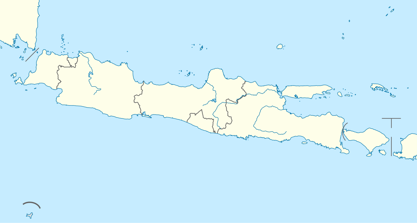
Quadratische Plattkarte, N-S-Streckung 101 %. Geographische Begrenzung der Karte:
Equirectangular projection, N/S stretching 101 %. Geographic limits of the map:
|
|
| ວັນທີ | ||
| Source |
Own work, using
|
|
| ຜູ້ຂຽນ | NordNordWest | |
| Permission (Reusing this file) |
This file is licensed under the Creative Commons Attribution-Share Alike 3.0 Germany license.
 This file is licensed under the Creative Commons Attribution-Share Alike 3.0 Unported license.
|


|
This map has been made or improved in the German Kartenwerkstatt (Map Lab). You can propose maps to improve as well.
|
ປະຫວັດໄຟລ໌
ຄລິກທີ່ ວັນທີ/ເວລາ ເພື່ອເບິ່ງໄຟລ໌ດັ່ງທີ່ມັນປາກົດໃນເວລານັ້ນ
| ວັນເວລາ | ຮູບຍໍ່ | ມິຕິ | ຜູ້ໃຊ້ | ຄວາມເຫັນ | |
|---|---|---|---|---|---|
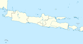
| ປະຈຸບັນ | 20:34, 7 ກຸມພາ 2011 | | 1,382 × 740(174 KB) | NordNordWest | =={{int:filedesc}}== {{Information |Description= {{de|Positionskarte von Java, Indonesien}} Quadratische Plattkarte, N-S-Streckung 101 %. Geographische Begrenzung der Karte: * N: 3.0° N * S: 9.5° S * W: 123.7° O * O: 141 |
ການໃຊ້ໄຟລ໌
3 ໜ້າຕໍ່ໄປນີ້ເຊື່ອມໂຍງຫາໄຟລ໌ນີ້:
ການໃຊ້ໄຟລ໌ທົ່ວໂລກ
ວິກິອື່ນ ໆ ຕໍ່ໄປນີ້ໃຊ້ໄຟລ໌ນີ້:
- ການໃຊ້ງານເທິງ ar.wikipedia.org
- ການໃຊ້ງານເທິງ azb.wikipedia.org
- ການໃຊ້ງານເທິງ az.wikipedia.org
- ການໃຊ້ງານເທິງ ban.wikipedia.org
- Candi Prambanan
- Gunung Ijén
- Gunung Merapi
- Merbabu
- Taman Nasional Gunung Halimun Salak
- Candi Sukuh
- Candi Mendut
- Taman Nasional Baluran
- Candi Pawon
- Candi Gedong Songo
- Gunung Kelud
- Mal:Location map Jawa
- Kawah Karaha
- Candi Barong
- Gunung Seméru
- Celuk Jakarta
- Celuk Pelabuhanratu
- Celuk Bandialit
- Celuk Banten
- Celuk Cilauteureun
- Celuk Ciletuh
- Celuk Lada
- Celuk Penyu
- Celuk Permisan
- Gunung Patuha
- Taman Nasional Bromo Tengger Seméru
- Taman Nasional Kapuloan Seribu
- Taman Nasional Gunung Merbabu
- Taman Nasional Gunung Merapi
- Taman Nasional Gunung Gedé Pangrango
- Taman Nasional Gunung Ciremai
View more global usage of this file.