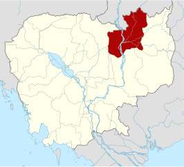
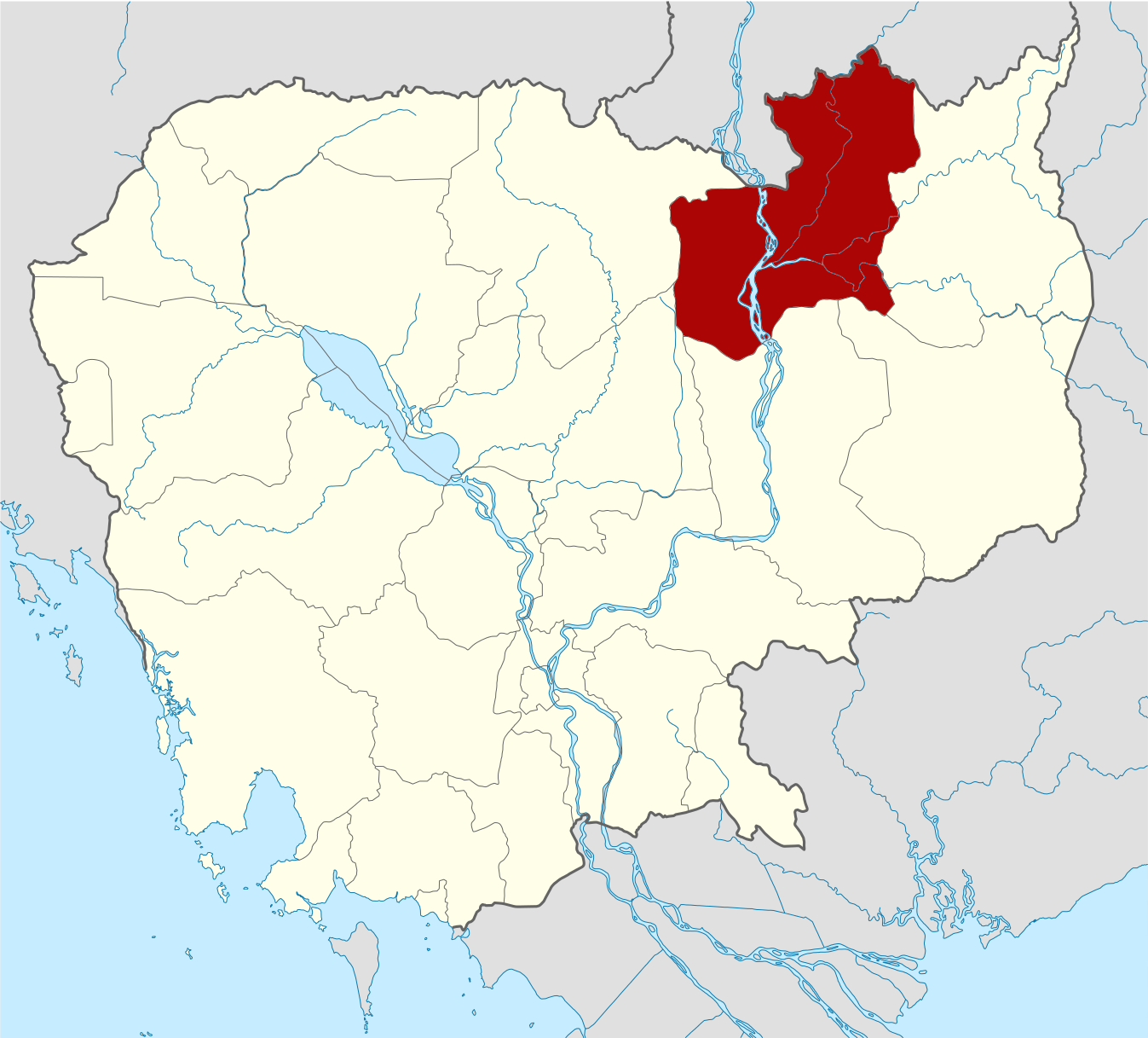
ຮູບ:Cambodia Stung Treng locator map.svg

Size of this PNG preview of this SVG file: 664 × 600 ພິກເຊວ. ຄວາມລະອຽດອື່ນ ໆ: 266 × 240 ພິກເຊວ | 531 × 480 ພິກເຊວ | 850 × 768 ພິກເຊວ | 1,133 × 1,024 ພິກເຊວ | 2,267 × 2,048 ພິກເຊວ | 1,347 × 1,217 ພິກເຊວ
ໄຟລ໌ຕົ້ນສະບັບ (SVG file, nominally 1,347 × 1,217 pixels, file size: 761 KB)
| ລາຍລະອຽດ |
Deutsch: Positionskarte von Kambodscha Quadratische Plattkarte, N-S-Streckung 105 %. Geographische Begrenzung der Karte: * N: 14.8° N * S: 9.9° N * W: 102.2° O * O: 107.9° O Equirectangular projection, N/S stretching 105 %. Geographic limits of the map: * N: 14.8° N * S: 9.9° N * W: 102.2° E * E: 107.9° E |
| ວັນທີ | (UTC) |
| Source | Own work based on: Cambodia location map.svg by NordNordWest |
| ຜູ້ຂຽນ | Kmusser |
| SVG genesis | This W3C-invalid locator map was created with Adobe Illustrator, and with Inkscape. |
| This is a retouched picture, which means that it has been digitally altered from its original version. Modifications: highlighted Stung Treng Province. The original can be viewed here: Cambodia location map.svg:
|
I, the copyright holder of this work, hereby publish it under the following licenses:
This file is licensed under the Creative Commons Attribution-Share Alike 3.0 Unported license.
- You are free:
- to share – to copy, distribute and transmit the work
- to remix – to adapt the work
- Under the following conditions:
- ສະແດງທີ່ມາ – You must give appropriate credit, provide a link to the license, and indicate if changes were made. You may do so in any reasonable manner, but not in any way that suggests the licensor endorses you or your use.
- ແບ່ງປັນຄືກັນ – If you remix, transform, or build upon the material, you must distribute your contributions under the same or compatible license as the original.

|
Permission is granted to copy, distribute and/or modify this document under the terms of the GNU Free Documentation License, Version 1.2 or any later version published by the Free Software Foundation; with no Invariant Sections, no Front-Cover Texts, and no Back-Cover Texts. A copy of the license is included in the section entitled GNU Free Documentation License. |
You may select the license of your choice.
Original upload log
This image is a derivative work of the following images:
- File:Cambodia_location_map.svg licensed with Cc-by-sa-3.0, GFDL
- 2009-02-12T21:35:03Z NordNordWest 1347x1217 (728478 Bytes) smaller file
- 2009-02-12T20:56:36Z NordNordWest 1347x1216 (1074945 Bytes) {{Information |Description= {{de|Positionskarte von [[:de:Kambodscha|Kambodscha]]}} Quadratische Plattkarte, N-S-Streckung 105 %. Geographische Begrenzung der Karte: * N: 14.8° N * S: 9.9° N * W: 102.2° O * O: 107.9° O {{
ປະຫວັດໄຟລ໌
ຄລິກທີ່ ວັນທີ/ເວລາ ເພື່ອເບິ່ງໄຟລ໌ດັ່ງທີ່ມັນປາກົດໃນເວລານັ້ນ
| ວັນເວລາ | ຮູບຍໍ່ | ມິຕິ | ຜູ້ໃຊ້ | ຄວາມເຫັນ | |
|---|---|---|---|---|---|
| ປະຈຸບັນ | 15:31, 8 ມິຖຸນາ 2010 | | 1,347 × 1,217(761 KB) | Kmusser | {{Information |Description={{de|Positionskarte von Kambodscha}} Quadratische Plattkarte, N-S-Streckung 105 %. Geographische Begrenzung der Karte: * N: 14.8° N * S: 9.9° N * W: 102.2° O * O: 107.9° O {{en|Location map of [[:en:Cambod |
ການໃຊ້ໄຟລ໌
ໜ້າຕໍ່ໄປນີ້ເຊື່ອມໂຍງຫາໄຟລ໌ນີ້:
ການໃຊ້ໄຟລ໌ທົ່ວໂລກ
ວິກິອື່ນ ໆ ຕໍ່ໄປນີ້ໃຊ້ໄຟລ໌ນີ້:
- ການໃຊ້ງານເທິງ en.wikipedia.org
- ການໃຊ້ງານເທິງ fa.wikipedia.org
- ການໃຊ້ງານເທິງ fi.wikipedia.org
- ການໃຊ້ງານເທິງ fr.wikipedia.org
- ການໃຊ້ງານເທິງ hi.wikipedia.org
- ການໃຊ້ງານເທິງ it.wikipedia.org
- ການໃຊ້ງານເທິງ ja.wikipedia.org
- ການໃຊ້ງານເທິງ km.wikipedia.org
- ການໃຊ້ງານເທິງ ko.wikipedia.org
- ການໃຊ້ງານເທິງ lv.wikipedia.org
- ການໃຊ້ງານເທິງ nl.wikipedia.org
- ການໃຊ້ງານເທິງ no.wikipedia.org
- ການໃຊ້ງານເທິງ pl.wikipedia.org
- ການໃຊ້ງານເທິງ ru.wikipedia.org
- ການໃຊ້ງານເທິງ simple.wikipedia.org
- ການໃຊ້ງານເທິງ th.wikipedia.org
- ການໃຊ້ງານເທິງ tl.wikipedia.org
- ການໃຊ້ງານເທິງ ur.wikipedia.org
- ການໃຊ້ງານເທິງ zh-min-nan.wikipedia.org
- ການໃຊ້ງານເທິງ zh-yue.wikipedia.org
- ການໃຊ້ງານເທິງ zh.wikipedia.org