ຮູບ:Timor Leste (orthographic projection).svg

Size of this PNG preview of this SVG file: 600 × 600 ພິກເຊວ. ຄວາມລະອຽດອື່ນ ໆ: 240 × 240 ພິກເຊວ | 480 × 480 ພິກເຊວ | 768 × 768 ພິກເຊວ | 1,024 × 1,024 ພິກເຊວ | 2,048 × 2,048 ພິກເຊວ | 687 × 687 ພິກເຊວ
ໄຟລ໌ຕົ້ນສະບັບ (SVG file, nominally 687 × 687 pixels, file size: 514 KB)
.svg)
ສະຫຼຸບ
| ລາຍລະອຽດ |
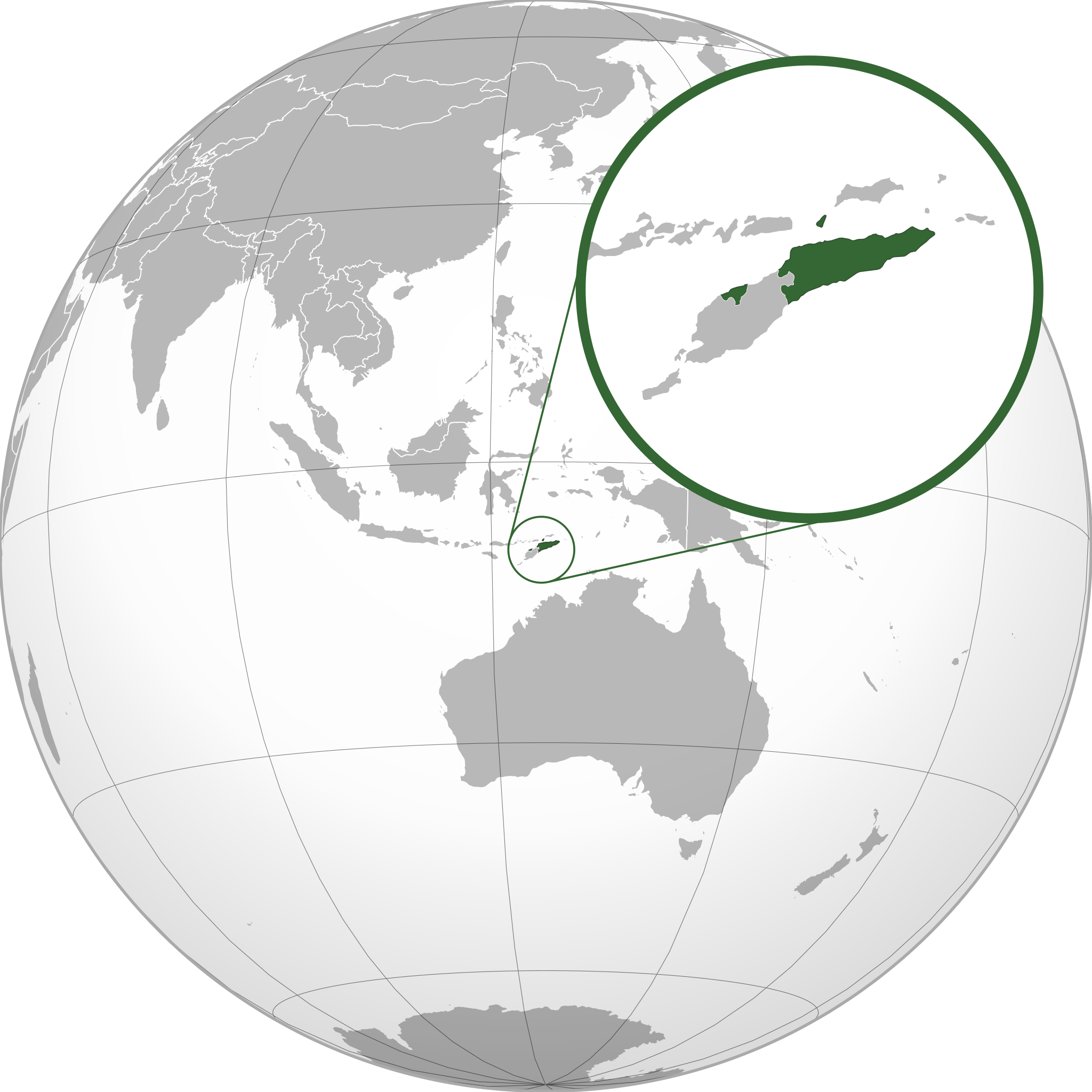
Español: Mapa de Timor Oriental |
| ວັນທີ | ໒ ກັນຍາ ໒໐໑໐ (upload date) |
| Source | http://upload.wikimedia.org/wikipedia/commons/0/05/Indonesia_%28orthographic_projection%29.svg |
| ຜູ້ຂຽນ | Alvaro1984 18 |
| Permission (Reusing this file) |
Mirar licencia |
| Other versions | Timor Leste (orthographic projection) high detail.png, Osttimor-Pos.png |
Licensing
I, the copyright holder of this work, hereby publish it under the following licenses:

|
Permission is granted to copy, distribute and/or modify this document under the terms of the GNU Free Documentation License, Version 1.2 or any later version published by the Free Software Foundation; with no Invariant Sections, no Front-Cover Texts, and no Back-Cover Texts. A copy of the license is included in the section entitled GNU Free Documentation License. |
This file is licensed under the Creative Commons Attribution 3.0 Unported license.
- You are free:
- to share – to copy, distribute and transmit the work
- to remix – to adapt the work
- Under the following conditions:
- ສະແດງທີ່ມາ – You must give appropriate credit, provide a link to the license, and indicate if changes were made. You may do so in any reasonable manner, but not in any way that suggests the licensor endorses you or your use.
You may select the license of your choice.
ປະຫວັດໄຟລ໌
ຄລິກທີ່ ວັນທີ/ເວລາ ເພື່ອເບິ່ງໄຟລ໌ດັ່ງທີ່ມັນປາກົດໃນເວລານັ້ນ
| ວັນເວລາ | ຮູບຍໍ່ | ມິຕິ | ຜູ້ໃຊ້ | ຄວາມເຫັນ | |
|---|---|---|---|---|---|
| ປະຈຸບັນ | 12:37, 17 ທັນວາ 2021 | | 687 × 687(514 KB) | Sette-quattro | newly generated image, higher geographical resolution |
| 18:24, 2 ກັນຍາ 2010 |  | 550 × 551(425 KB) | Alvaro1984 18 | {{Information |Description={{es|1=Mapa de Timor Oriental}} |Source=http://upload.wikimedia.org/wikipedia/commons/0/05/Indonesia_%28orthographic_projection%29.svg |Author=Alvaro1984 18 |Date=2/9/2010 |Permission=Mirar licencia |other |
ການໃຊ້ໄຟລ໌
ໜ້າຕໍ່ໄປນີ້ເຊື່ອມໂຍງຫາໄຟລ໌ນີ້:
ການໃຊ້ໄຟລ໌ທົ່ວໂລກ
ວິກິອື່ນ ໆ ຕໍ່ໄປນີ້ໃຊ້ໄຟລ໌ນີ້:
- ການໃຊ້ງານເທິງ ami.wikipedia.org
- ການໃຊ້ງານເທິງ ar.wikipedia.org
- ການໃຊ້ງານເທິງ arz.wikipedia.org
- ການໃຊ້ງານເທິງ ast.wikipedia.org
- ການໃຊ້ງານເທິງ azb.wikipedia.org
- ການໃຊ້ງານເທິງ az.wikipedia.org
- ການໃຊ້ງານເທິງ ban.wikipedia.org
- ການໃຊ້ງານເທິງ bg.wikipedia.org
- ການໃຊ້ງານເທິງ bn.wikipedia.org
- ການໃຊ້ງານເທິງ bug.wikipedia.org
- ການໃຊ້ງານເທິງ ca.wikipedia.org
- ການໃຊ້ງານເທິງ cdo.wikipedia.org
- ການໃຊ້ງານເທິງ ce.wikipedia.org
- ການໃຊ້ງານເທິງ cs.wikipedia.org
- ການໃຊ້ງານເທິງ de.wikipedia.org
- ການໃຊ້ງານເທິງ de.wikivoyage.org
- ການໃຊ້ງານເທິງ diq.wikipedia.org
- ການໃຊ້ງານເທິງ el.wikipedia.org
- ການໃຊ້ງານເທິງ el.wiktionary.org
- ການໃຊ້ງານເທິງ en.wikipedia.org
- ການໃຊ້ງານເທິງ es.wikipedia.org
- ການໃຊ້ງານເທິງ eu.wikipedia.org
- ການໃຊ້ງານເທິງ fa.wikipedia.org
- ການໃຊ້ງານເທິງ fi.wikivoyage.org
- ການໃຊ້ງານເທິງ fr.wikipedia.org
- ການໃຊ້ງານເທິງ fr.wikinews.org
- ການໃຊ້ງານເທິງ ga.wikipedia.org
- ການໃຊ້ງານເທິງ gcr.wikipedia.org
- ການໃຊ້ງານເທິງ gl.wikipedia.org
- ການໃຊ້ງານເທິງ gn.wikipedia.org
- ການໃຊ້ງານເທິງ hak.wikipedia.org
- ການໃຊ້ງານເທິງ ha.wikipedia.org
- ການໃຊ້ງານເທິງ hi.wikipedia.org
- ການໃຊ້ງານເທິງ hy.wikipedia.org
- ການໃຊ້ງານເທິງ ia.wikipedia.org
- ການໃຊ້ງານເທິງ id.wikipedia.org
View more global usage of this file.
.svg)
.svg)