ຮູບ:Flag of Riau.svg

Size of this PNG preview of this SVG file: 800 × 560 ພິກເຊວ. ຄວາມລະອຽດອື່ນ ໆ: 320 × 224 ພິກເຊວ | 640 × 448 ພິກເຊວ | 1,024 × 717 ພິກເຊວ | 1,280 × 896 ພິກເຊວ | 2,560 × 1,792 ພິກເຊວ | 1,500 × 1,050 ພິກເຊວ
ໄຟລ໌ຕົ້ນສະບັບ (SVG file, nominally 1,500 × 1,050 pixels, file size: 303 KB)
ສະຫຼຸບ
| ລາຍລະອຽດ |
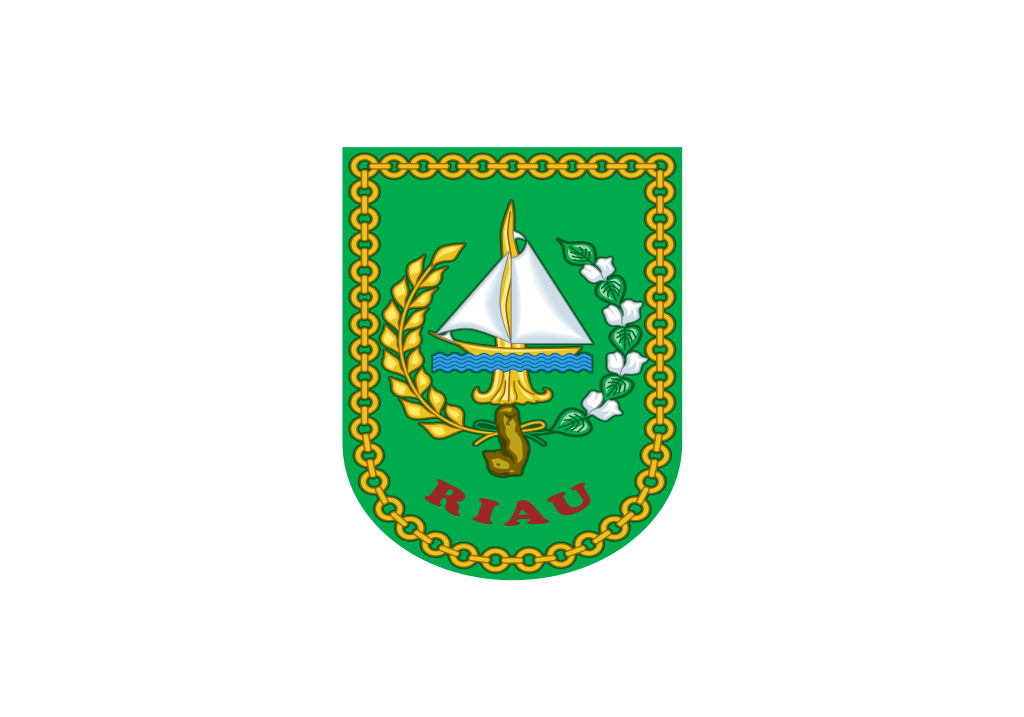
English: Flag of Riau, See legal regulation about the flag. Bahasa Indonesia: Bendera Riau, Lihat peraturan hukum tentang bendera tersebut. |
|||
| ວັນທີ | ||||
| Source | Vectorised from File:Riau flag.png | |||
| ຜູ້ຂຽນ | Indonesian Government | |||
| Permission (Reusing this file) |
|


W3C-validity not checked.
ປະຫວັດໄຟລ໌
ຄລິກທີ່ ວັນທີ/ເວລາ ເພື່ອເບິ່ງໄຟລ໌ດັ່ງທີ່ມັນປາກົດໃນເວລານັ້ນ
| ວັນເວລາ | ຮູບຍໍ່ | ມິຕິ | ຜູ້ໃຊ້ | ຄວາມເຫັນ | |
|---|---|---|---|---|---|
| ປະຈຸບັນ | 18:40, 12 ພຶດສະພາ 2014 | | 1,500 × 1,050(303 KB) | Muffin Wizard | sticked |
| 15:12, 12 ພຶດສະພາ 2014 |  | 1,500 × 1,050(298 KB) | Muffin Wizard | User created page with UploadWizard |
ການໃຊ້ໄຟລ໌
ບໍ່ມີໜ້າໃດ ລິ້ງຄ໌ ຫາ ໄຟລ໌ນີ້.
ການໃຊ້ໄຟລ໌ທົ່ວໂລກ
ວິກິອື່ນ ໆ ຕໍ່ໄປນີ້ໃຊ້ໄຟລ໌ນີ້:
- ການໃຊ້ງານເທິງ ar.wikipedia.org
- ການໃຊ້ງານເທິງ az.wikipedia.org
- ການໃຊ້ງານເທິງ ban.wikipedia.org
- ການໃຊ້ງານເທິງ be.wikipedia.org
- ການໃຊ້ງານເທິງ bjn.wikipedia.org
- ການໃຊ້ງານເທິງ ca.wikipedia.org
- ການໃຊ້ງານເທິງ ceb.wikipedia.org
- ການໃຊ້ງານເທິງ cs.wikipedia.org
- ການໃຊ້ງານເທິງ de.wikivoyage.org
- ການໃຊ້ງານເທິງ en.wikipedia.org
- Economy of Indonesia
- Sumatra
- Minangkabau people
- ISO 3166-2:ID
- Malays (ethnic group)
- West Sumatra
- North Sumatra
- Riau Islands
- Bugis
- List of islands by population
- Sundanese people
- List of first-level administrative divisions by area
- Batak
- TVRI
- Banjar people
- Malay Indonesians
- List of political and geographic subdivisions by total area from 50,000 to 200,000 square kilometers
- List of political and geographic subdivisions by total area (all)
- List of political and geographic subdivisions by total area from 50,000 to 100,000 square kilometers
- Selat Panjang
- List of Indonesian provinces by Human Development Index
- Miss Indonesia
- 2016 Pekan Olahraga Nasional
- List of Indonesian provinces by GRP per capita
- User:Muffin Wizard/Workshops
- List of inscribed flags
- Riau Malays
- Template:Country data Riau
View more global usage of this file.